Platja del Far
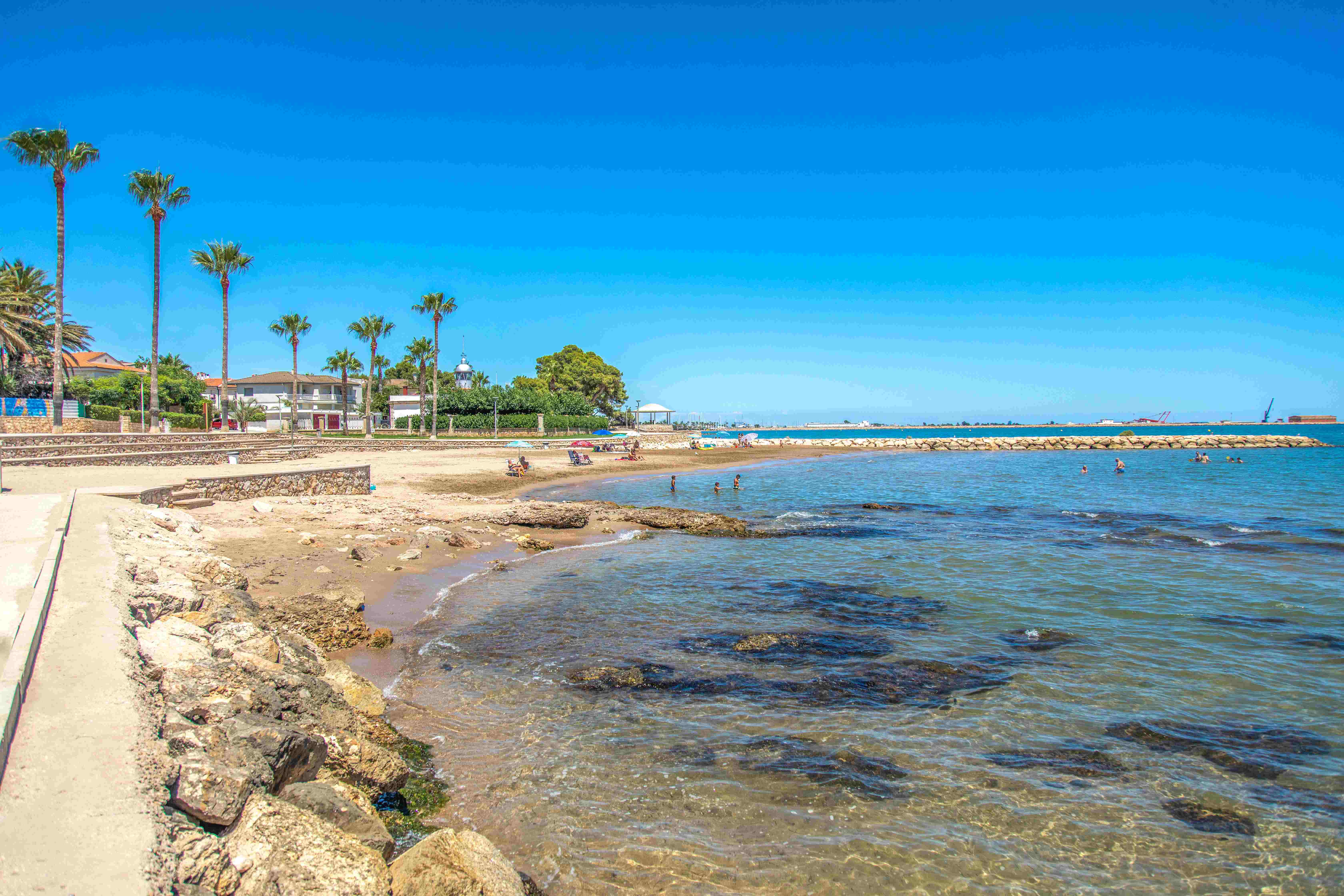
Platja del Far in La Ràpita (Terres de l'Ebre) is next to Els Alfacs Harbour Lighthouse (far means lighthouse in Catalan), which was lit for the first time in 1864. It is also known as La Senieta Beach because Els Alfacs Harbour is on La Senieta Point.
Small in size, about 97 m long and 23 m wide, El Far Beach has fine golden sand and placid, crystal clear waters. The fact that it is very close to the urban area and offers additional services means it is often rather crowded, especially in high season.
The services include an ice cream and soft drink kiosk, showers, portacabin toilets, and a car park. In addition, on the seafront promenade there is a wide range of bars and restaurants offering excellent dishes from the traditional seafood cuisine of La Ràpita and the Ebro region.
If you’re a water sports enthusiast, less than a kilometre and a half from El Far Beach is the La Ràpita Yacht Club that, apart from its 489 moorings, offers facilities for a wide range of water sports, including rowing, light sailing, dinghy sailing, kayaking and swimming.
HOW TO FIND IT
Platja del Far
Geolocation
Platja del Far, s/n
43540 La Ràpita
Coordinates: 40º 36' 26,102" N 0º 35' 6,099" E
SERVICES
- Parking
- Ice cream and soft drink kiosk
- Bars and restaurants
- Showers and portacabin toilets
- Daily cleaning
- Signage
MORE INFORMATION
- Type of sand: Fine golden sand
- Width (m): 23 metres
- Length (m): 97 metres
- Access: By car from the N-340 main road and the A-7 motorway (Exit 41). By train to L’Aldea station
- Classification: Couples, Families, Hikers,
- Surroundings: La Ràpita and Yacht Club