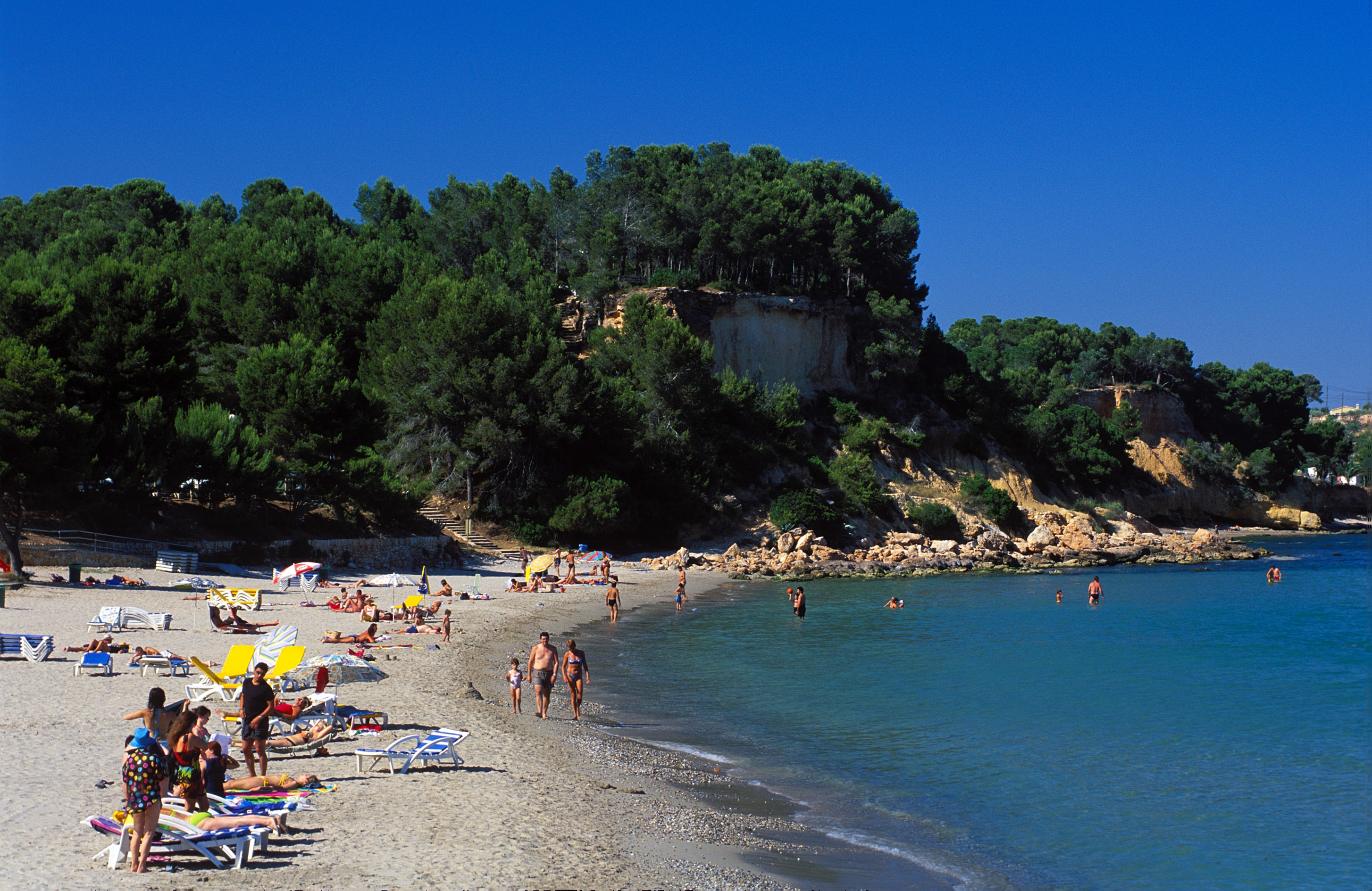
Platja Barranc del Cap Roig
Barranc del Cap Roig Beach, as its name indicates, is located at the foot of the ravine of the same name on the boundary between the municipalities of El Perelló and L'Ampolla (Terres de l'Ebre). It is also on the GR-92 Mediterranean long-distance footpath between the beaches of Cala Buena in El Perelló and Platja de Perales in L’Ampolla.
From near the Hotel Les Oliveres car park you can follow the red and white markings of the GR-92. Heading north, the first point of interest is the well-known Cala Buena Beach, followed by Morro de Gos and Santa Llúcia Beaches. Then the terrain becomes more rugged in the area of Els Bufadors and Llosar del Me (or Caballé) Beaches. For that reason we recommend good walking shoes. Next you come to Adolç del Me, Cala Garretes, Cala Moros and finally Pont de l'Àlia.
HOW TO FIND IT
Platja Barranc del Cap Roig
Geolocation
43519, El Perelló
Coordinates:
SERVICES
MORE INFORMATION
- Type of sand: Rock
- Width (m): X metres
- Length (m): X metres
- Access: By car from the N-340 main road and the A-7 motorway
- Classification: Couples, Hikers,
- Surroundings: El Perelló.