
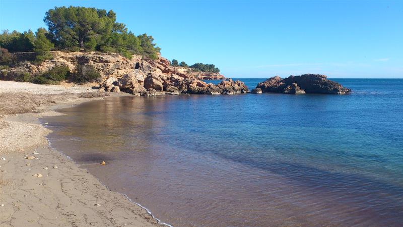
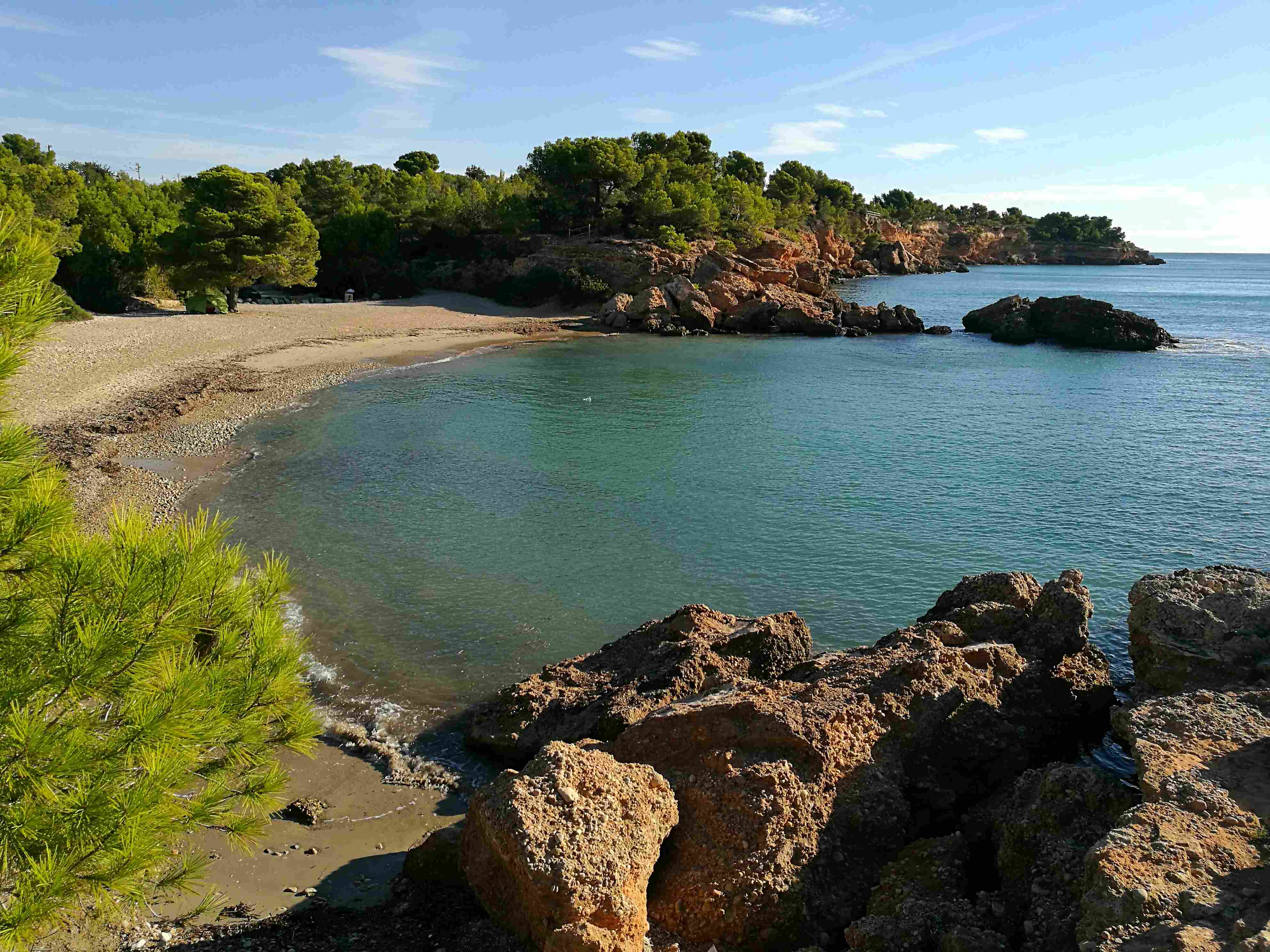
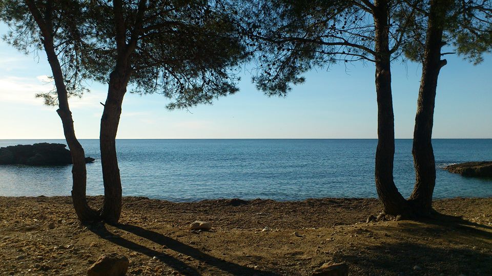
Platja de l’Estany Podrit
Platja de l'Estany Podrit in L’Ametlla de Mar (Terres de l'Ebre) is a small refuge combining fine sand and rocks on the route of the GR-92 Mediterranean long-distance walking route and the coastal footpath. It is therefore popular with hikers who walk along this beautiful, rugged section of the coastal footpath once frequented by dreaded corsairs.
The beach is just over 60 m long by 15 m wide and, apart from showers, offers little in the way of services, so it tends to be uncrowded, even in high season. Its natural surroundings of pine trees, Mediterranean shrubbery and rocks give it the appearance of a virgin beach.
The waters of Platja de l'Estany Podrit have a moderate swell and are very attractive to the area’s fishermen, who, apart from the local fish species, also come here to hook hermit and green crab.
The beach is easily reached via an unpaved track. If you come by car, try and park at the beginning of the track.
HOW TO FIND IT
Platja de l’Estany Podrit
Geolocation
Paratge Urbanització Racons s/n43860 L’A
metlla de Mar
Coordinates: 40º 51' 28,569" N 0º 46' 11,637" E
SERVICES
- Parking
- Shower
- Daily cleaning
- Signage
- Nearby port
MORE INFORMATION
- Type of sand: Fine golden sand and rocks
- Width (m): 15 metres
- Length (m): 60 metres
- Access: By car from the N-340 road main road or the A-7 motorway (Exit 39 L’Ametlla de Mar). By train: Tarragona-Tortosa line, L’Ametlla de Mar station. By interurban bus.
- Classification: Couples, Families, Hikers,
- Surroundings: L’Ametlla de Mar, GR-92 Mediterranean long-distance footpath and coastal footpath.