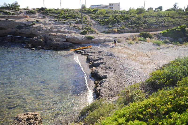
Cala Calafat
Cala Calafat and Cala Calafató are located in a historic area of the municipality of L'Ametlla de Mar, in the northern part of the Terres de l'Ebre. The Calafat area was particularly prominent in Roman times as it was next to the Via Augusta, the road that led to Rome, then the 'capital of the world'. Despite the steep, rocky terrain of many of L’Ametlla de Mar’s beaches, Cala Calafat and Cala Calafató or Cala lo Ribellet, to the north of the municipality, stand out for their fine, golden sand. Some 100 metres long by 40 metres wide, Cala Calafat is accessible on foot or by car. Its services include showers, toilets, nearby parking, signage and restaurant areas.
L’Ametlla de Mar has more than 16 kilometres of coastline with beaches and coves of different typologies, most of which are adorned by greenery and are extraordinarily attractive. Adding to this are the steep cliffs surrounded by typical Mediterranean vegetation that further enhance this uniquely picturesque area.
Very close to Calafat Marina, Cala Calafat can be reached via the N-340 main road and Urbanització Calafat residential estate. From the AP-7 motorway take Exit 39 for L’Ametlla de Mar.
HOW TO FIND IT
Cala Calafat
Geolocation
Av. Mediterrània, 36,
43860 Calafat
Coordinates: 40º 55' 48,364" N 0º 51' 5,656" E
SERVICES
- Parking
- Showers and portacabin toilets
- Bar-restaurant
- Daily cleaning
- Signage
- Lifeguards
MORE INFORMATION
- Type of sand: Fine golden
- Width (m): 45 metres
- Length (m): 100 metres
- Access: By car via the N-340 main road and the Urbanització Calafat residential estate; from the AP-7 motorway Exit 39 (L'Ametlla de Mar). By train: Tarragona-Tortosa line, Ametlla de Mar station. By interurban bus.
- Classification: Couples, Families, Hikers
- Surroundings: L’Ametlla de Mar


