


Cala Port Olivet
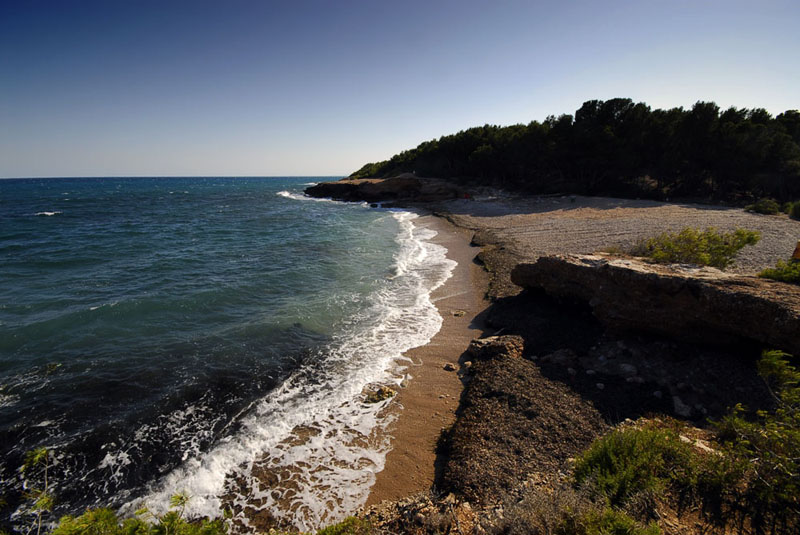
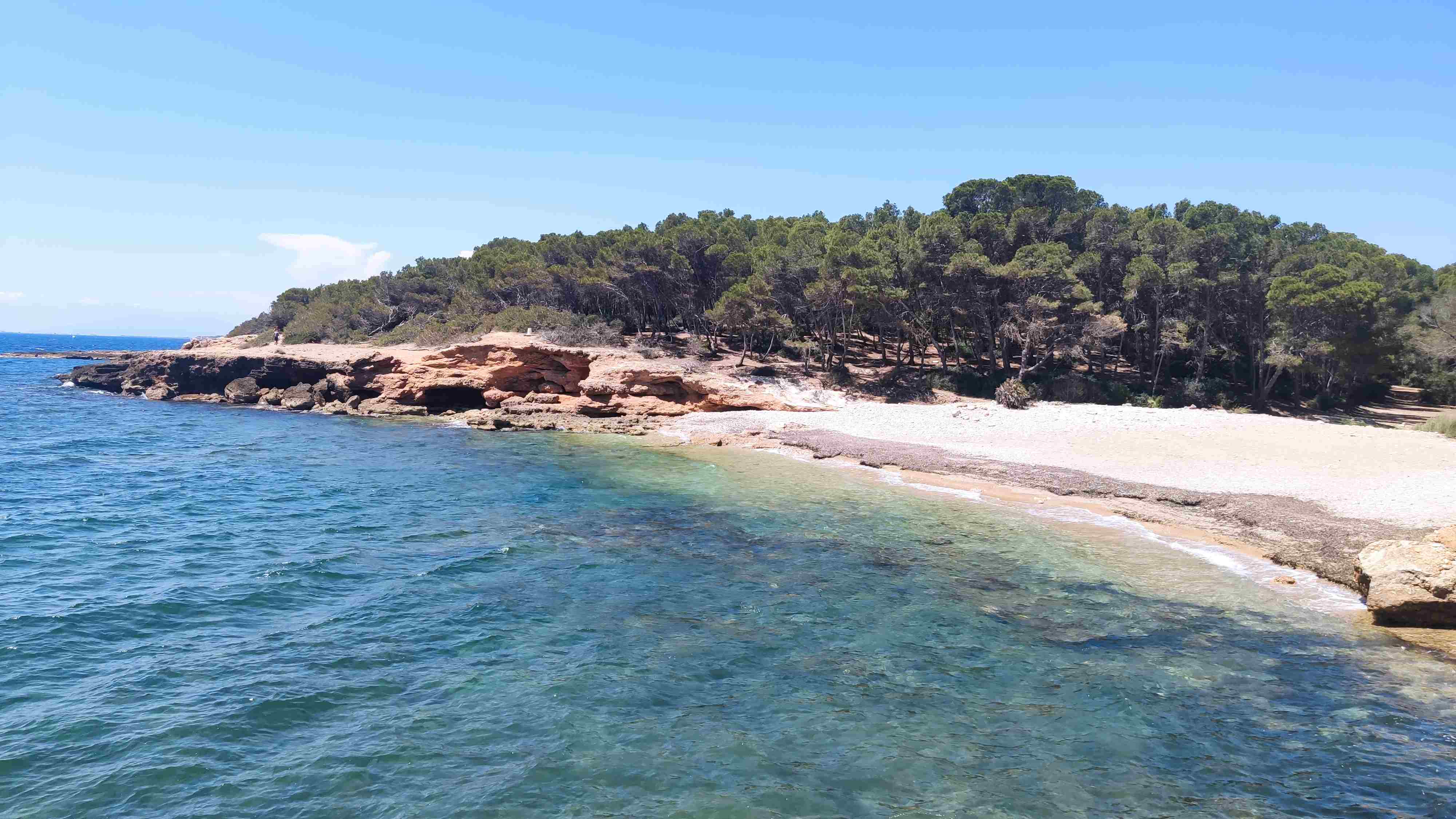
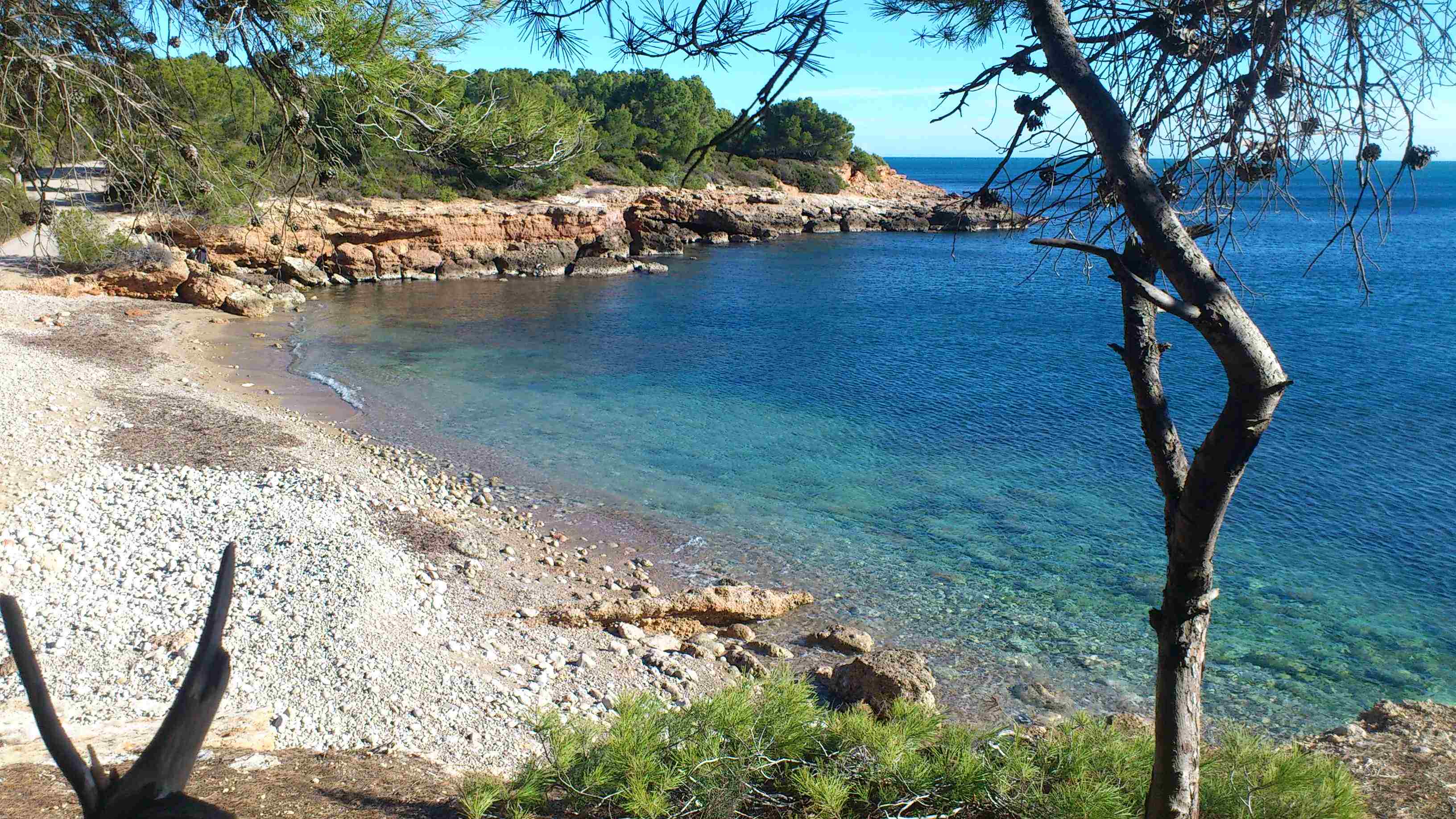
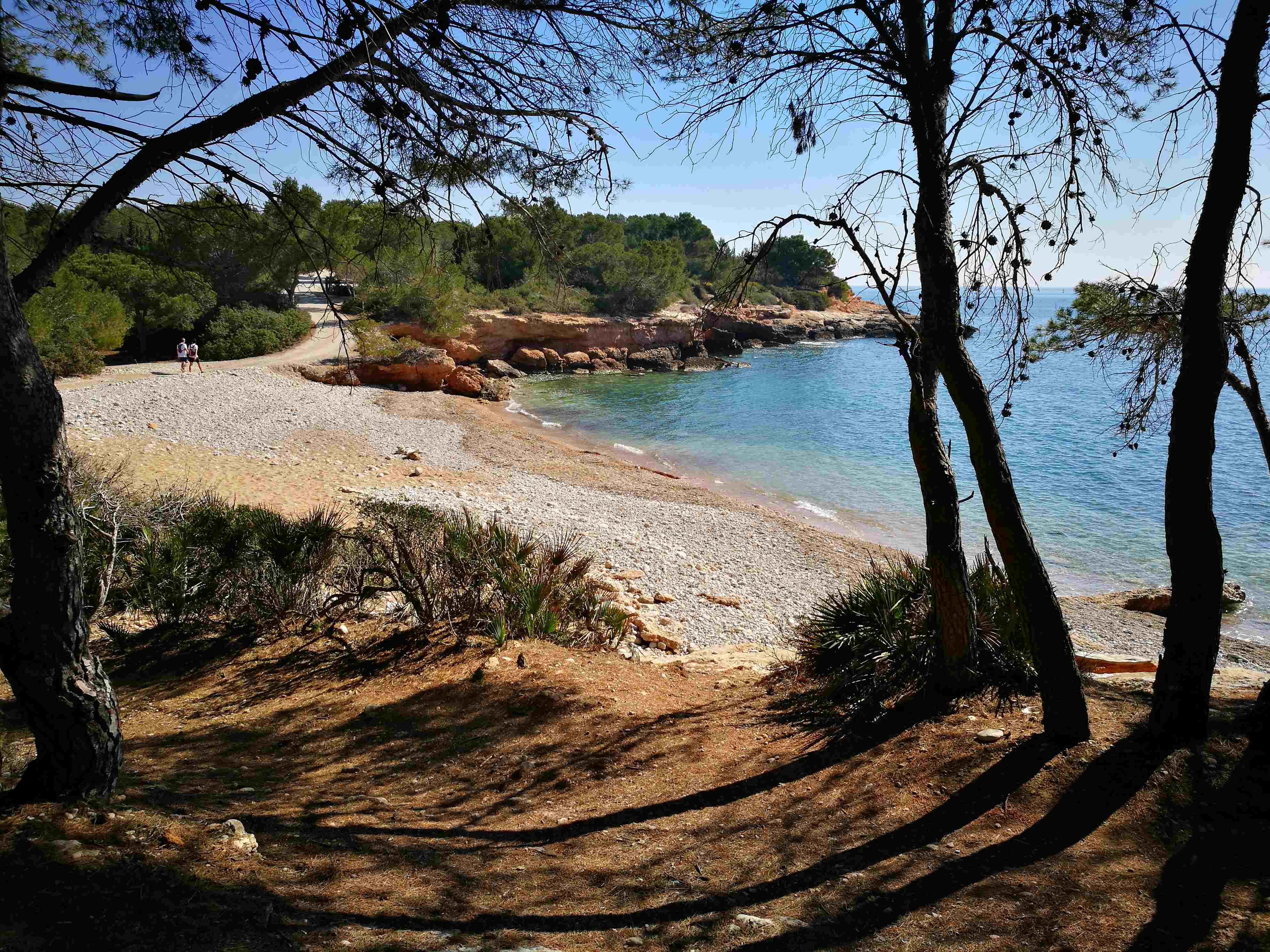
Cala Port Olivet in L’Ametlla de Mar (northern Terres de l'Ebre) is a beach that combines fine sand with small rocks and is lined by white pine and shrubs. Located to the north of Cape Santes Creus, it is 65 m long by 25 m wide.
It is generally quiet and uncrowded and its waters have a moderate wave with slightly windy intervals. Apart from a parking area with the correct access signage and daily cleaning in high season, there are no other services.
Cala Port Olivet is however on the GR-92 Mediterranean long-distance footpath, a beautiful coastal walk that connects the area’s beaches and coves. The zone also has one of the most interesting sets of fortifications dating from the Spanish Civil War, which are currently being restored. Among other buildings, you can see an artillery bunker that runs all the way to L’Estany Beach.
If you’re a water sports fan, you’ll find a wide range of activities in L'Ametlla de Mar.
HOW TO FIND IT
Cala Port Olivet
Geolocation
Paratge Urbanització Port Estany, s/n
43860 L’Ametlla de Mar
Coordinates: 40º 51' 57,137" N 0º 47' 17,271" E
SERVICES
- Parking
- Daily cleaning
- Signage
MORE INFORMATION
- Type of sand: Fine sand and rocks
- Width (m): 25 metres
- Length (m): 65 metres
- Access: By car from the N-340 main road and the A-7 motorway (Exit 39 L'Ametlla de Mar).
- Classification: Couples, Hikers,
- Surroundings: L’Ametlla de Mar, the GR-92 Mediterranean long-distance footpath and the coastal footpath.